A Comparative Analysis
By Albert Tinamuka
The real estate market in Uganda is characterized by regional variations in land prices, with some areas commanding higher values than others.
While Bushenyi is 320km away from Kampala, with a far much less population currently estimated at 251,000 compared to Kampala’s 3,652,000, recent times have seen a significant comparative price increase that may not be easily understood or explainable at first glance. In trying to explore the reasons behind these higher land prices in Bushenyi, we look at key factors such as location, economic activities, infrastructure development, and demographic dynamics, to gain insights into the contrasting land values between these two areas.
Location and Accessibility: Bushenyi District possesses unique geographical advantages that contribute to its higher land prices. First, it is situated in close proximity to prominent national parks, specifically the Queen Elizabeth National Conservation area and in more relative terms, Bwindi Impenetrable Forest, making it an attractive destination for wildlife tourism. Others include Kalinzu forest in in the West of the District which borders Queen Elizabeth, and Kyambura Game Reserve in the neighbouring Rubirizi. The presence of such natural attractions enhances the desirability and scarcity of land in the area, driving up prices. On the other hand, Kampala, as a landlocked capital city, lacks the same natural appeal, relying more on its urban amenities and commercial activities.
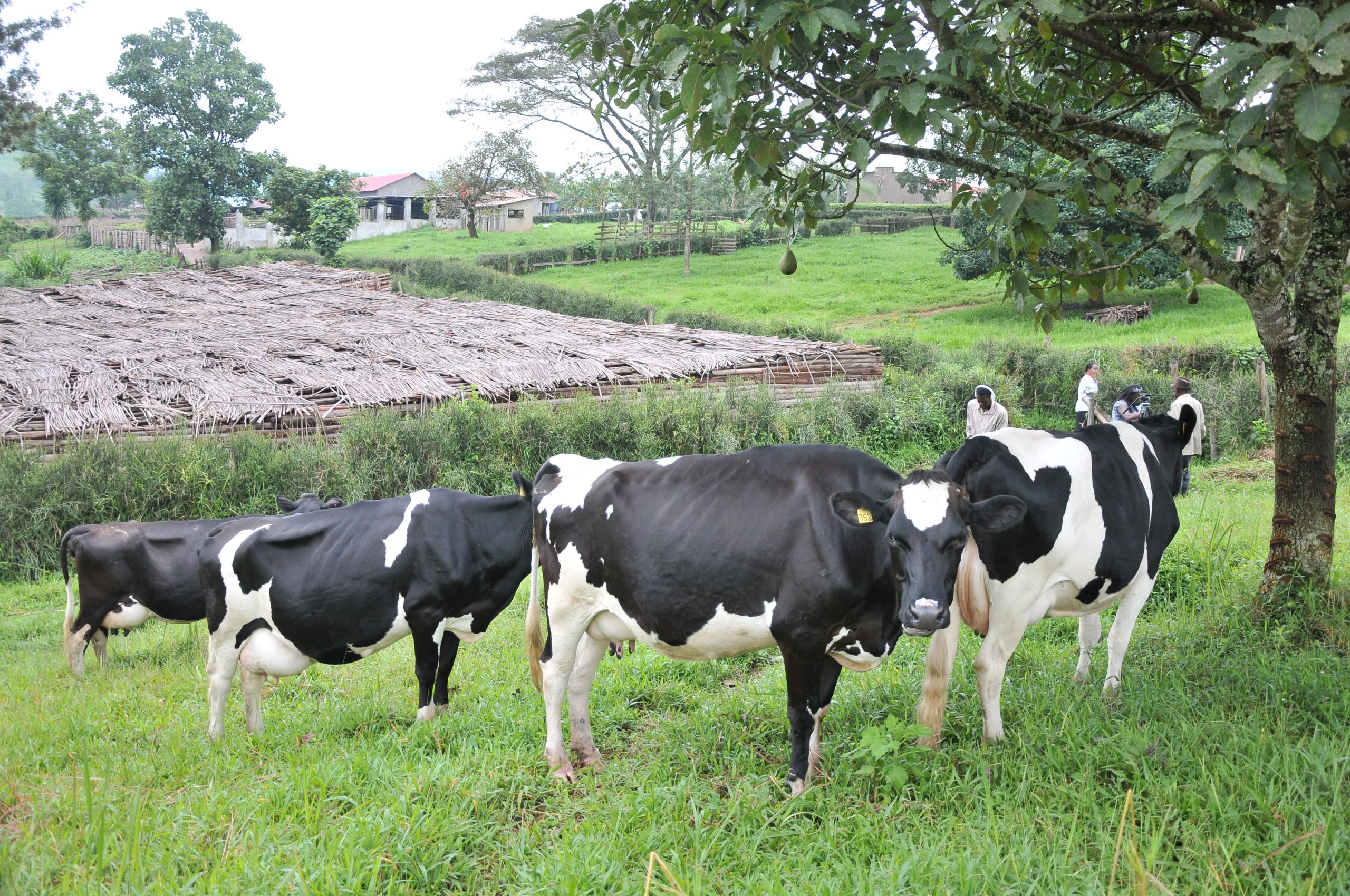
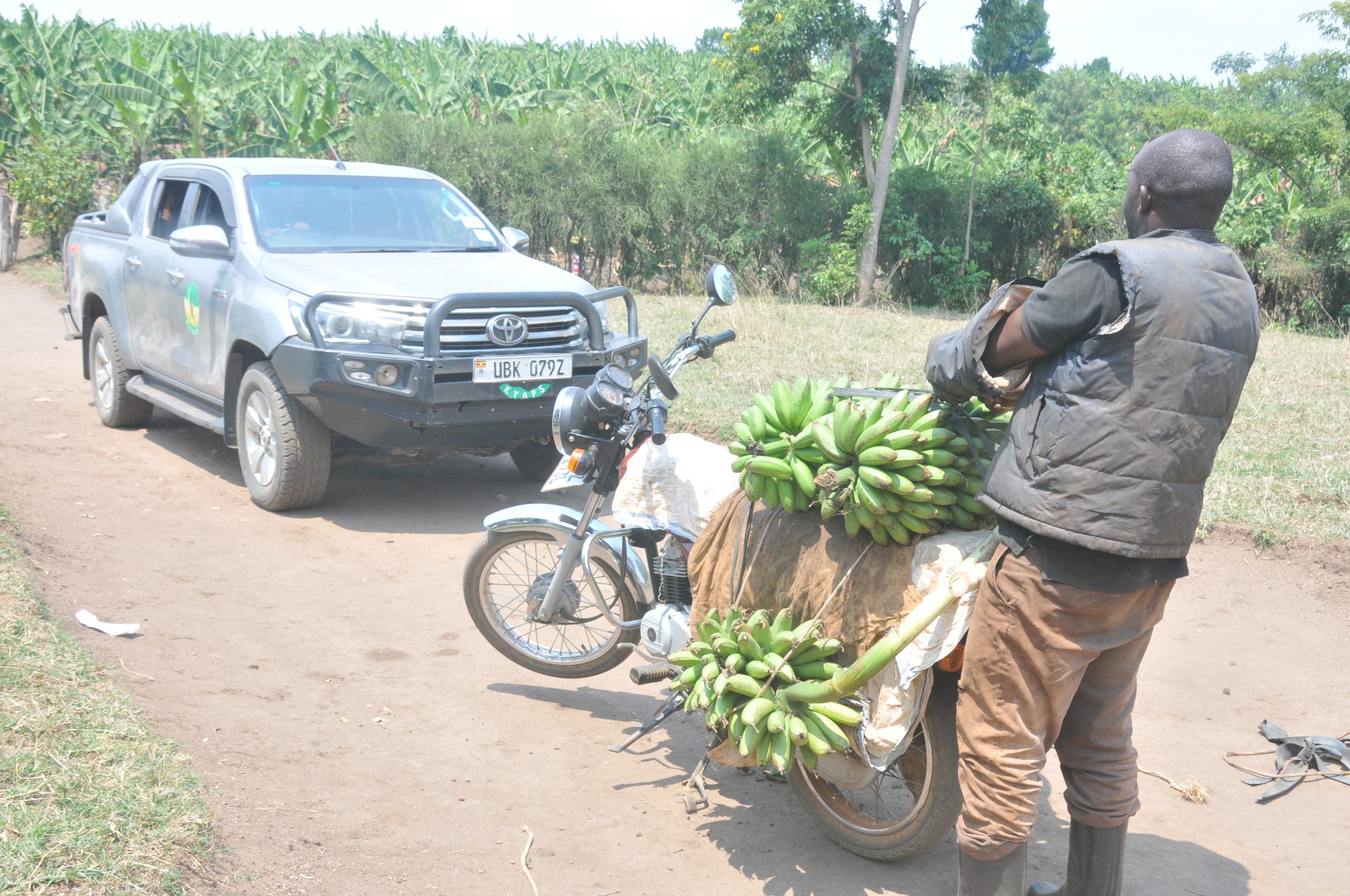
Economic Activities and Agricultural Potential: Bushenyi District is renowned for its vibrant agricultural sector, particularly in dairy farming, bananas and tea production. The fertile soils and favorable climate in the district facilitate high-quality agricultural yields, making it a significant agricultural hub in Uganda. The consistent demand for agricultural land, coupled with the region’s capacity for high-value crop production, raises land prices in Bushenyi. Kampala, although an economic center, does not possess the same level of agricultural productivity and therefore does not experience the same upward pressure on land values.
Demographic Dynamics: Population growth and urbanization trends are vital drivers of land prices. Bushenyi District experiences a steady population increase, with rising urbanization and an influx of individuals seeking opportunities in the agriculture and tourism sectors. This population growth drives the demand for housing and commercial spaces, subsequently elevating land prices. In contrast, Kampala’s rapid population growth has led to increased pressure on available land, causing prices to rise. However, due to affordable land within the boundaries of the greater Kampala Metropolitan including Mukono, Wakiso and Entebbe, the land prices in Kampala may be constrained compared to the more restrictive Bushenyi District.
It can therefore be concluded that several factors contribute to the higher land prices in Bushenyi District compared to Kampala. The district’s unique location, proximity to national parks, agricultural potential, infrastructure development, and demographic dynamics all play significant roles in shaping land values. Understanding these factors is essential for potential investors, policymakers, and real estate developers to make informed decisions regarding land acquisition and investment opportunities in Bushenyi. While Kampala remains an essential economic and administrative center, the distinctive attributes of Bushenyi District contribute to its higher land prices, reflecting the specific demands and attractions of the area.

Caption: Before the tea industry went down recently, tea growing has been one of the determinants of land prices in Bushenyi.
Process for Land Registration (Titling)
The Office of Lands and Physical Planning under the Natural Resources Department is responsible for land administration in the District. It is the custodian of land acquisition and registration at district level.
- To process a land title, an individual should obtain relevant land application forms from his/her sub county upon paying land application fees of 20,000 shillings.
- Fill the forms and ensure the neighbours have signed attesting to the boundaries of the land being applied for
- Submit the filled forms (file) to the Area Land Committee (ALC) of the sub county which will set a date for a public hearing to inspect the land and hear complaints or objections.
- If no valid objections are received, the ALC will go ahead to write its report identifying the boundaries and making its recommendation to the District Land Board.
- The file will then be forwarded to the Sub County/ Town Council Physical Planning committee which will also carry out inspection to ensure compliance with the Physical Planning Act, the Environment Act and other relevant laws and regulations.
- The Sub County will then submit the file to the District Physical Planning Committee with its recommendations for further scrutiny and onward submission to the District Land Board.
- The District Land Board, basing on the recommendations of the various committees and on its own volition, will grant and offer upon which the file will be forwarded to the Ministry of Lands Zonal Office in Mbarara for surveying and registration. Ends


Great for purposeful information